
GeoDispatch
Right team, right place, real time.
GeoDispatch replaces paper-based field reporting with a connected, GIS-enabled workforce platform. Supervisors see crews on a live map, optimise routes and dispatch the right person to the right job, and it extends to enterprise logistics for end-to-end stock and shipment tracking.
A live map of your workforce
GeoDispatch gives supervisors real-time, location-aware task assignment and a live view of crews, while field teams capture photos, forms, inspections and service updates on mobile, online or off. GIS-integrated mapping covers assets, routes, service areas and site conditions.
It applies across government operations and inspections, utilities and energy, mining and natural resources, logistics and transport, and agriculture and rural services.
Paper-based field work is invisible and wasteful
Without real-time visibility you get wasted travel, repeat visits and slow billing, yet field operations must evidence safety, SLAs and proof-of-service, auditable end to end.
What it does
- Real-time workforce dispatching with location-aware task assignment
- Mobile field operations for photos, forms, inspections and updates
- GIS-integrated mapping for assets, routes, service areas and site conditions
- Offline capabilities for remote or low-connectivity zones
- Dashboards and analytics for productivity, completion and field performance
- Extends to enterprise logistics for stock and shipment tracking
See GeoDispatch in action
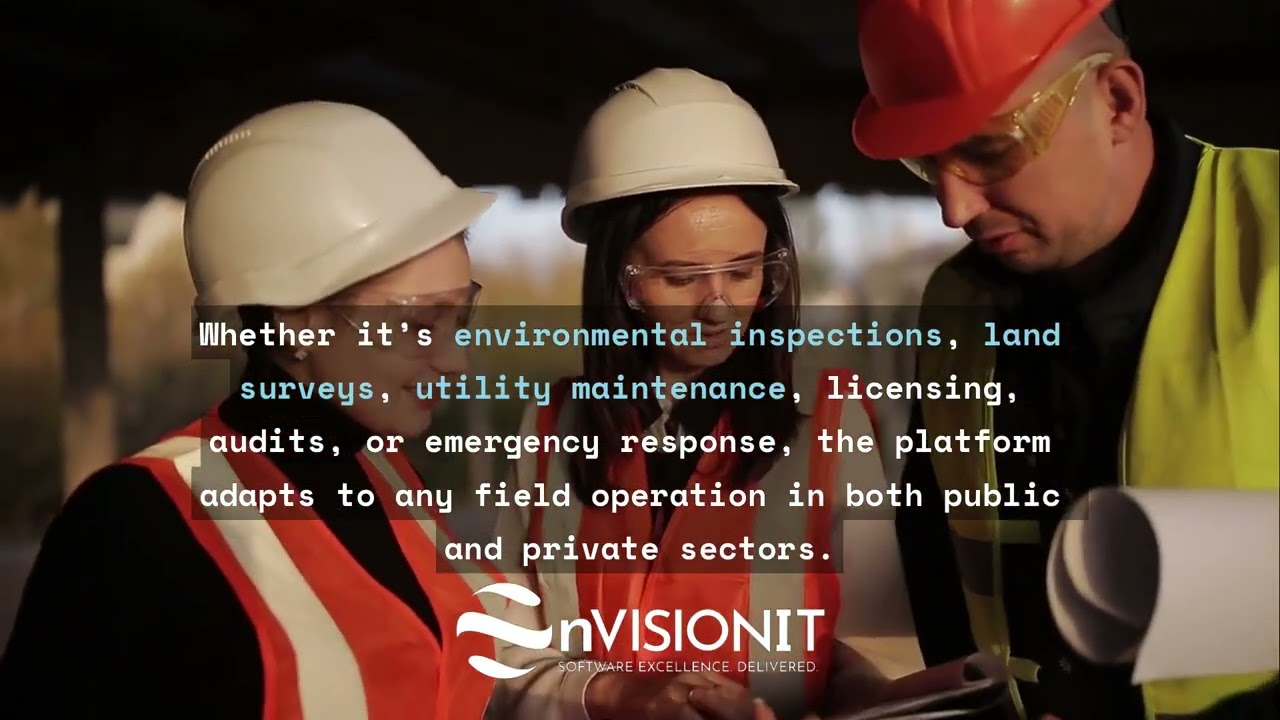
See GeoDispatch in action
Book a demo and we’ll show you how GeoDispatch fits your environment, and map it to the outcomes you’re after.